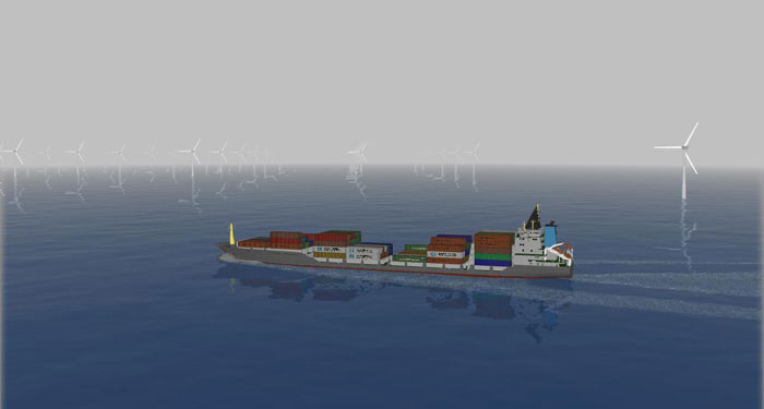
The impact on others users of the sea of wind farms, tidal arrays and wave energy parks have to be fully understood.

Navigation Risk Assessments
Decisions on location, orientation, marking and traffic management require a detailed understanding of sea use and navigation risk. We have extensive navigation experience and have tools for modelling displaced traffic, for simulating navigation in and around wind farms and for assessing economic impact on maritime transport.
These services are provided by our specialist operating company in The Netherlands and the UK.
Computer Simulation
Maritime regulators frequently require researched opinion using appropriate computer simulation techniques to investigate the displacement of traffic and, in particular, the creation of ‘choke points’ in areas of high traffic density. BMT has the ability to simulate ship movements in and around arrays, along shipping lanes / ferry routes and in ports to assess the change in risk.
These services are provided by our specialist operating company in The Netherlands and the UK.
Navigation Impact
BMT has extensive experience in assessing the impacts of developments on shipping and navigation. This has ranged from assessing the development of major port developments in the Far East to the potential impact of wave hub on passing traffic.
These services are provided by our specialist operating company in The Netherlands and the UK.
Traffic Survey
We have a variety of techniques for surveying traffic that can reduce or eliminate the need for expensive boat based surveys. These including data capture from radars and the ability to track and analyses ship movements from AIS data.
These services are provided by our specialist operating company in Hong Kong.
For general enquiries relating to Navigation, please contact Louise Ledgard
Contact

Louise Ledgard
Director of Business Development - Energy
BMT Group Ltd
Tel: +44 (0)7799 601 418
Email
Download Business Card
Related Services
Related Companies

Offshore Renewable Energy Brochure
An overview of BMT's capabilities within the Offshore Renewable Energy market sector
Download
Follow Us